Morgan Territory Regional Preserve
One day, not so long ago, grizzly bears roamed here, chowing down on manzanita berries, beneath giant tree-like manzanitas. Those days ended in in the late 1850s, when Jeremiah Morgan hunted them out, reportedly killing 46 bears in a single year. But this rugged wilderness preserve is still home to mountain lions, eagles and coyotes. The park connects other open space areas, forming a large tract of wildlands.
This is an enormous park (5,321 acres) and very remote. To reach it from I-580 requires driving the last 6 miles on a one lane road, with many blind curves and a few sheer cliff drops. Plan to drive 15-25 mph for that section and to crawl around the blind curves. There was one car in the parking lot when I arrived on a winter weekday afternoon. The wilderness setting means you need a plan to stay found and to be very aware of your surroundings. Bring water, snacks, a printed trail map and plan on no cell service.
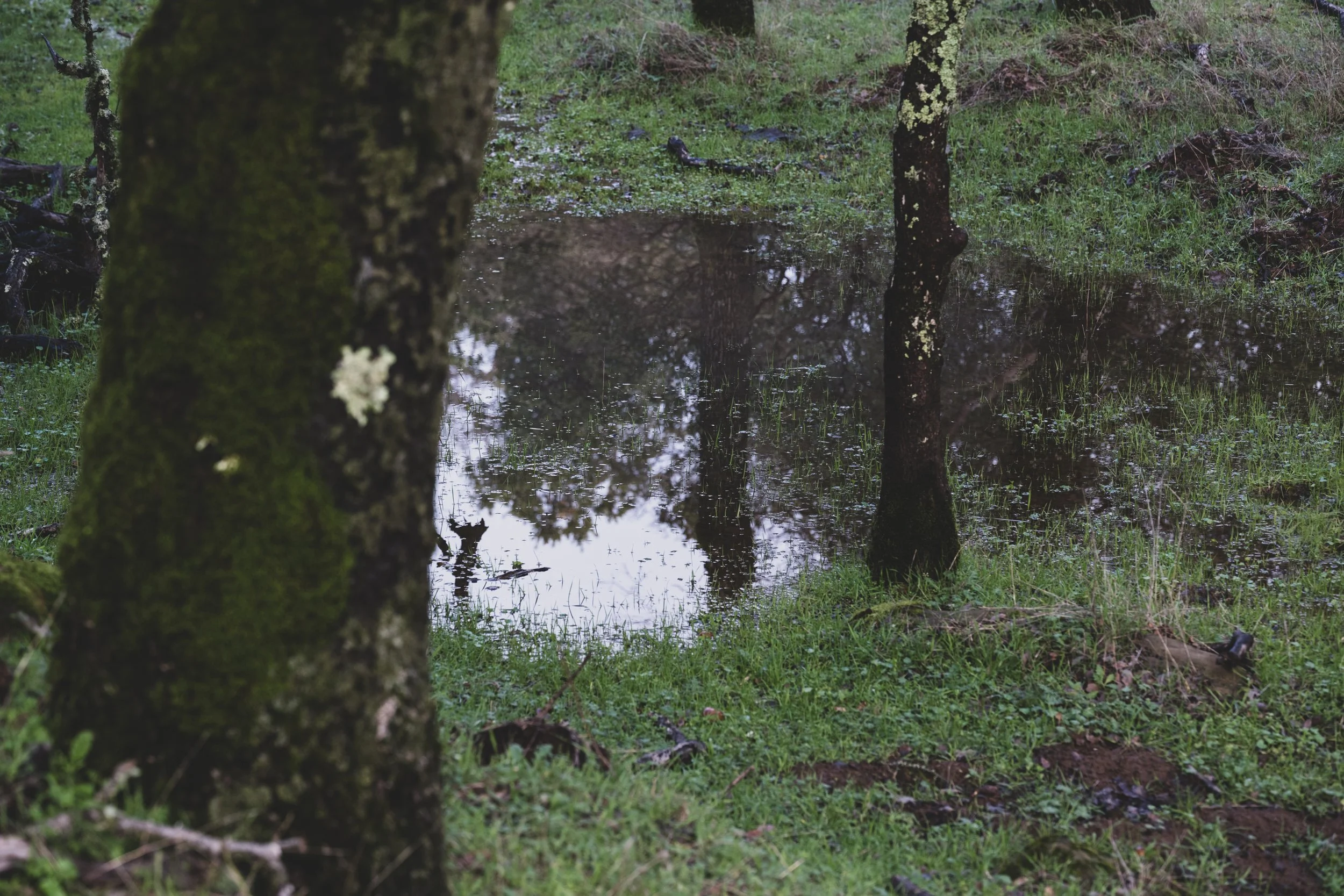
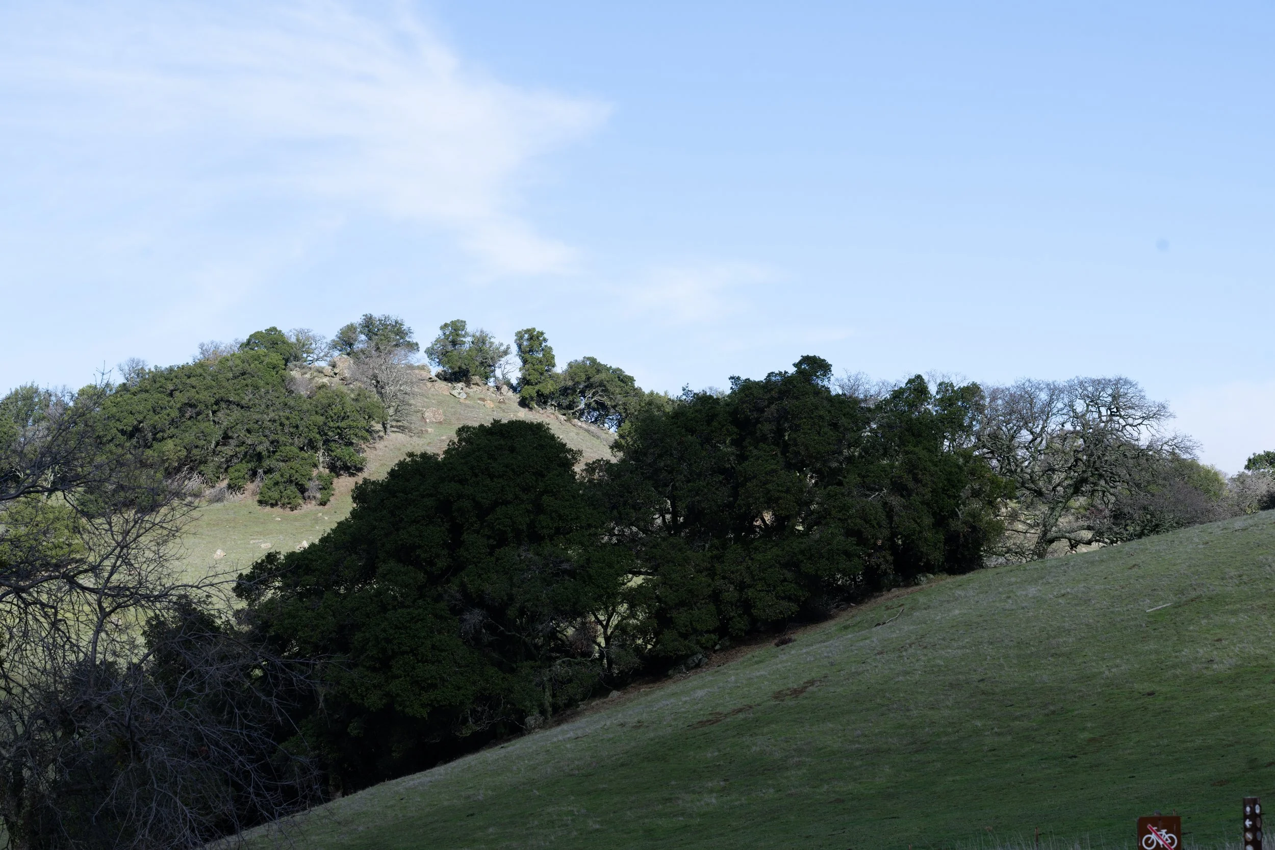
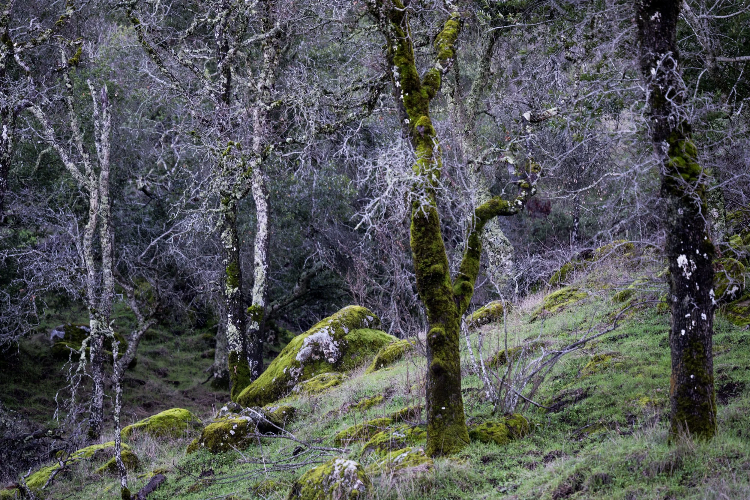
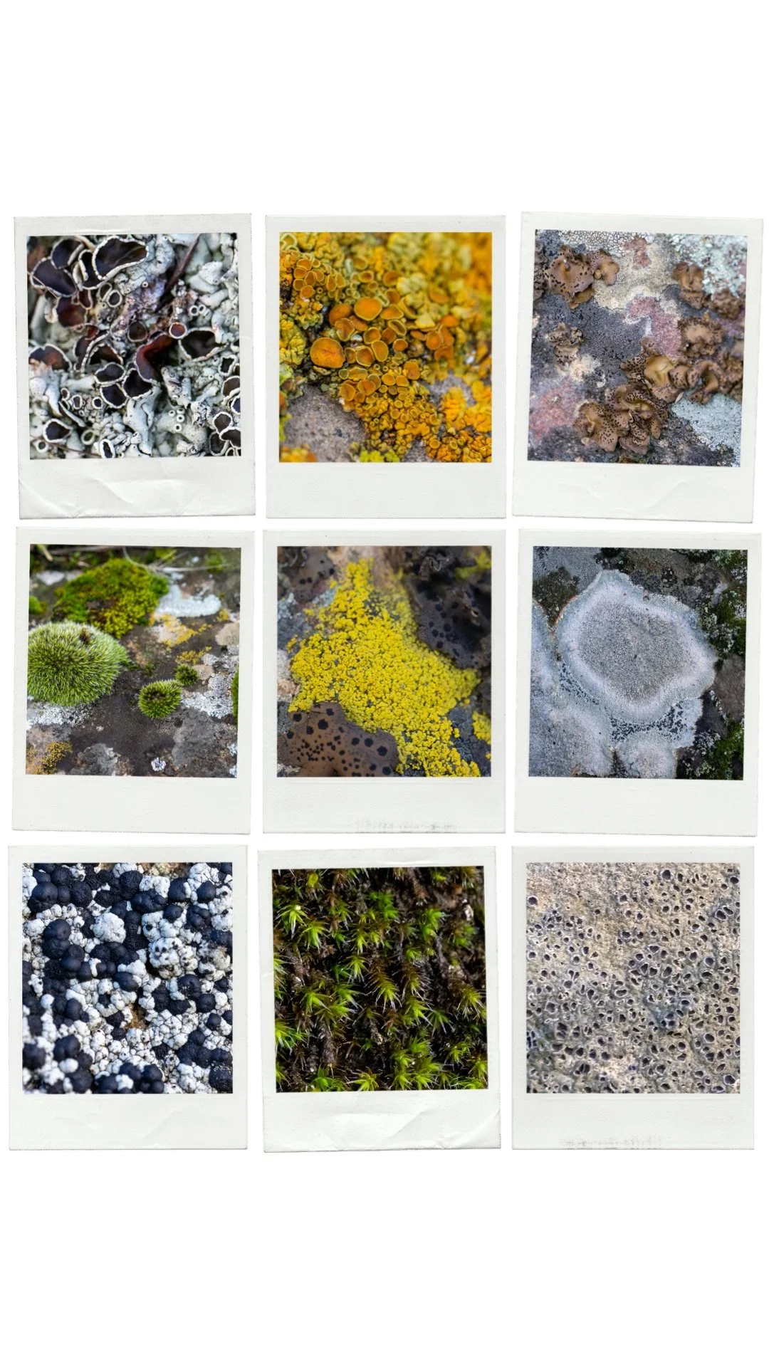
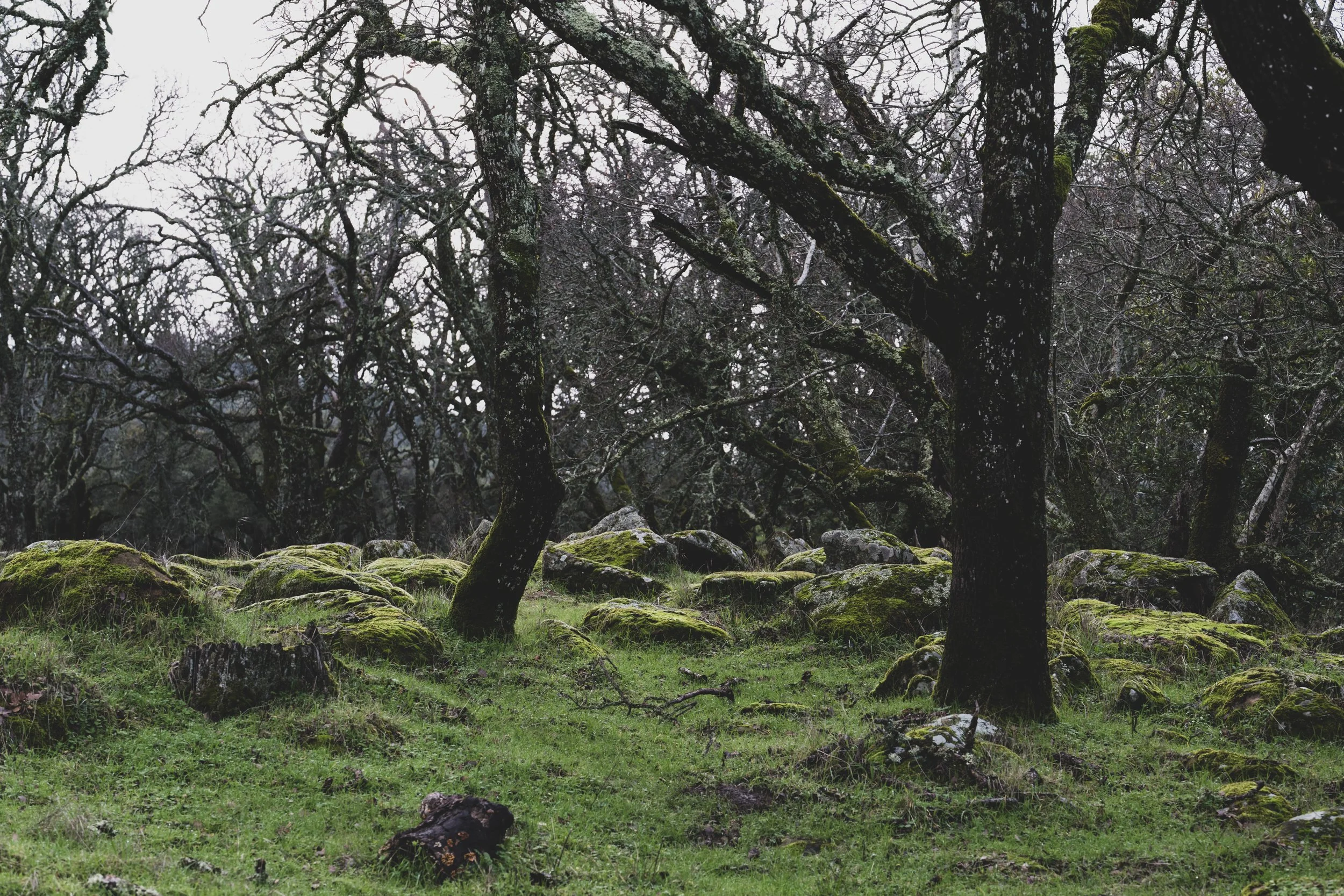
Once you reach the staging area you are already at an elevation of 2,030 feet, which make the climb to reach the ridge tops easier, if that is your goal. Many of the trails are on gentle slope crossing open grasslands, oak forests and chaparral, with lichen/moss rocks scattered throughout. Lots of views of Mount Diablo, the Delta, Sacramento Valley and on a clear day, the snow capped Sierra Nevada. The recent rains filled the ephemeral streams and seasonal pools and ponds. On this particular day I heard more wildlife than I saw: ten minutes of yipping coyotes, frogs, acorn woodpeckers, northern flickers, the scream of red-tailed hawks. I also saw lots of evidence of wildlife in the form of scats and tracks.
Common manzanita grows here, I saw one specimen, maybe 20 feet tall, that was more like a tree than a shrub, with a single gnarled burgundy trunk. It was in full bloom and some of the flowers fell around the ground like snow. It reminded me of a giant bonsai tree. I literally gasped when I saw it.
I only explored a tiny corner of the park, making a couple of loops on connecting trails near the staging area. But the park is filled with trails named after animals and this park connects to Mount Diablo State Park, Round Valley and Contra Costa Water District land.
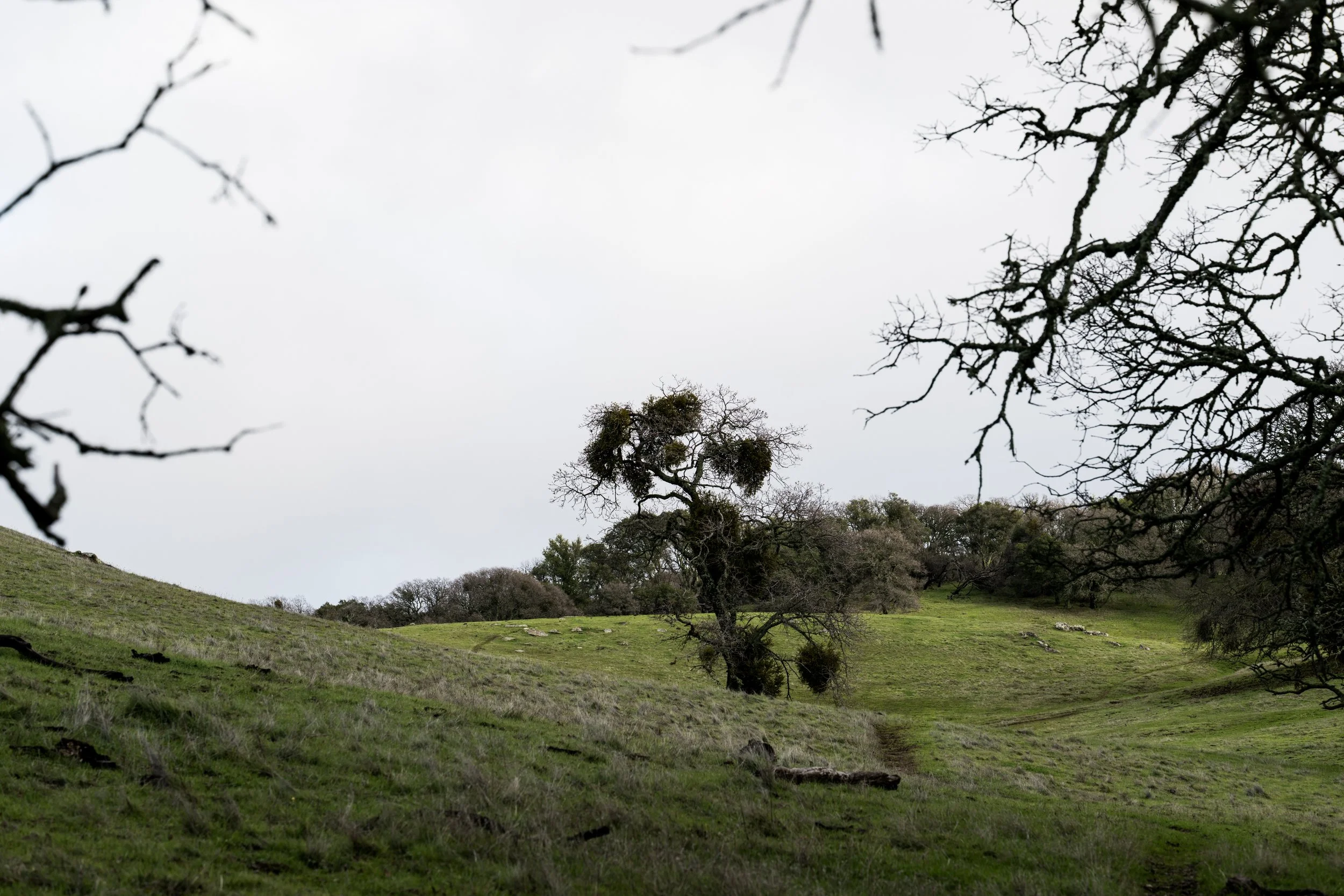
Oak tree with oak mistletoe
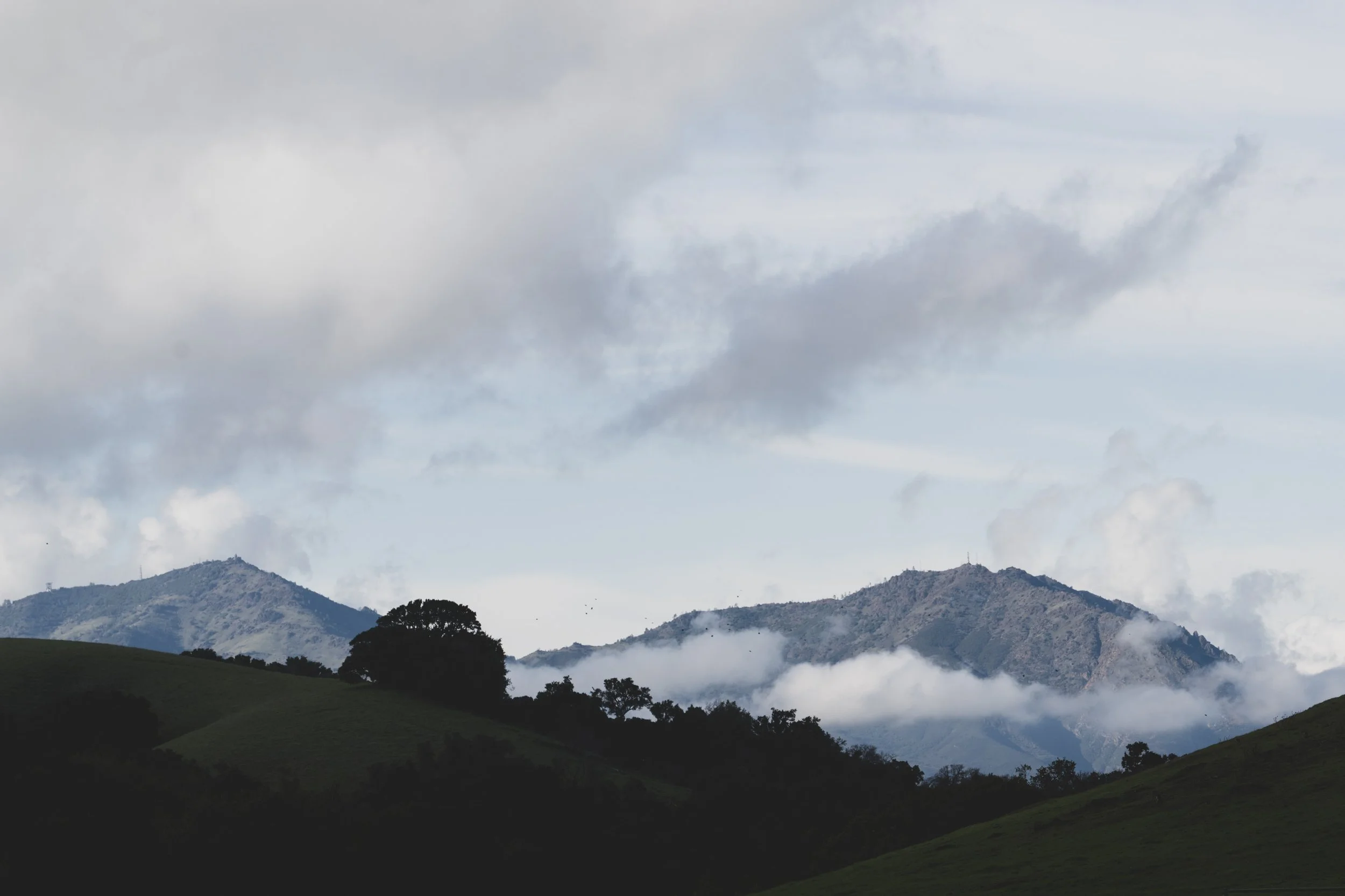
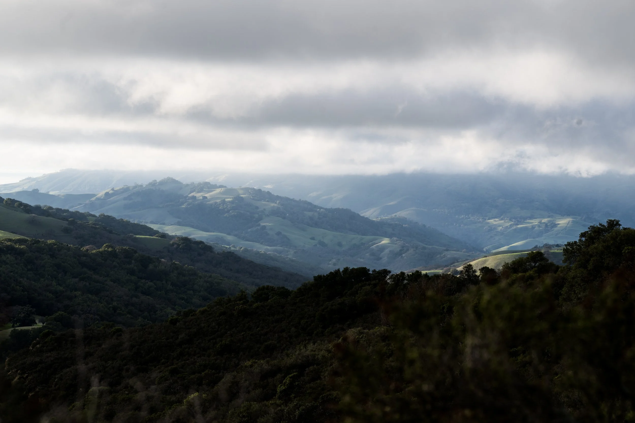
Looking west at Mount Diablo, Morgan Territory, January 6, 2026
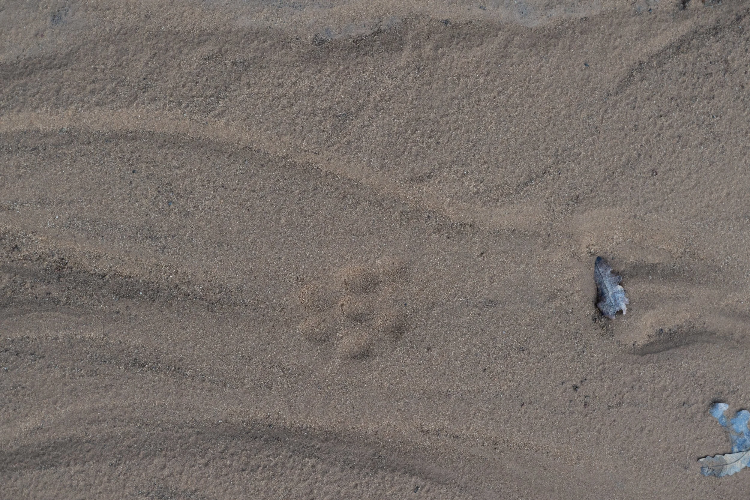
The landscape has stories to tell. Here I will offer my analysis of the the order of events. The leaf on the right middle of the frame fell on the ground. Later, enough rain fell to cause a temporary braided stream over the sandy substrate. The water’s path was altered by the fallen leaf. It formed eddies around the leaf, possibly tumbling it around until a deeper impression formed in the sand. The rain stopped for long enough for the water to stop flowing completely. Then a lighter rain fell again and left rain drop prints in the sand. It was less water this time, not enough to cause a flow of runoff. After these rains, a coyote walked the trail in a direct register gait. I was probably the first human to walk here since the braided runoff flow stopped as I didn’t see other human footprints. These are just my first thoughts, and I am probably mistaken about some or all of them. But just the act of trying to read the landscape, asking questions, is like pulling on a thread of mysteries that endlessly unravels. Condor Trail, Morgan Territory, January 6, 2026.
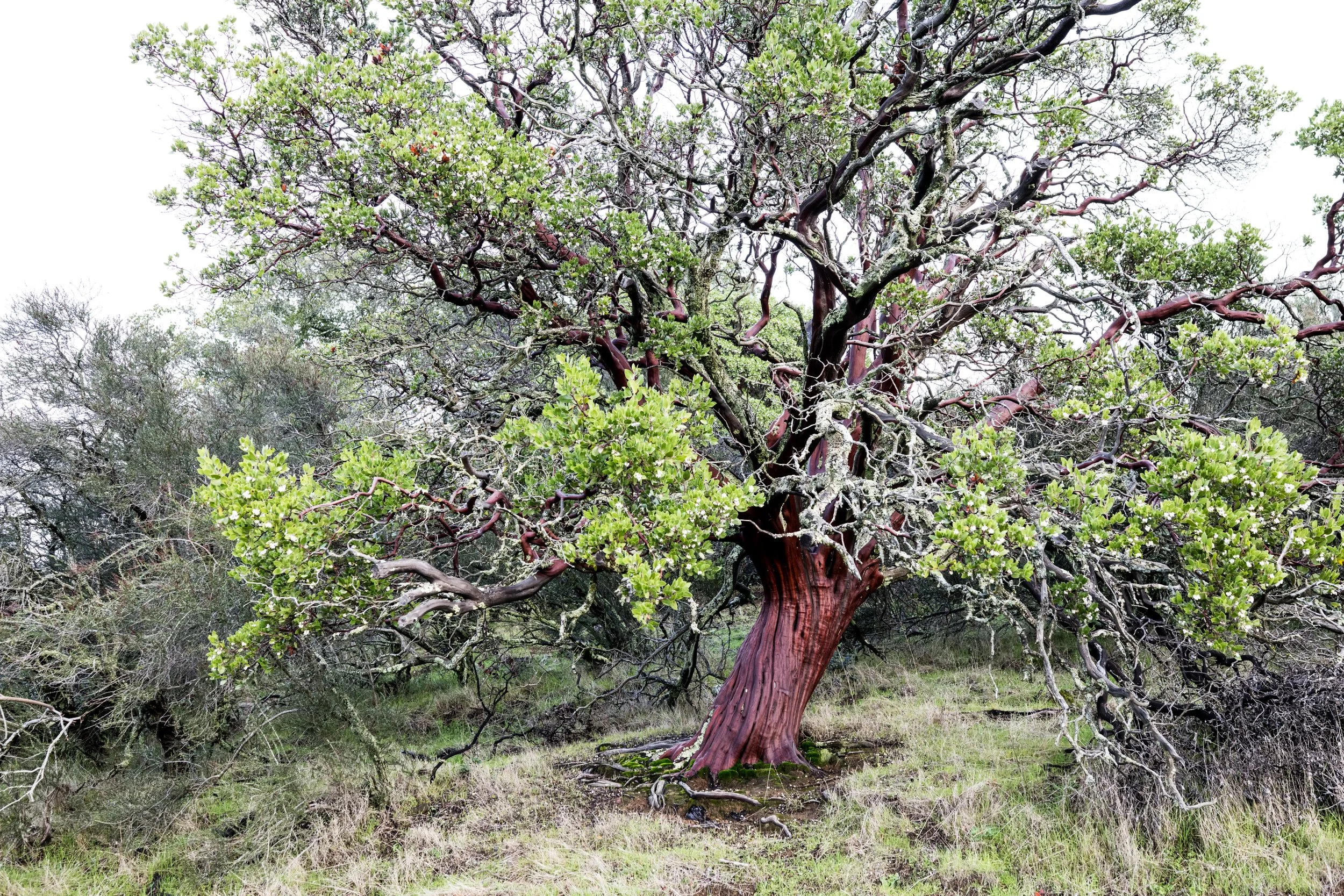
Tree-sized manzanita. Common Manzanita, Morgan Territory, January 6, 2026